GIS Interactive Map
The Landmarks Commission provides the public with an interactive GIS web app for viewing the official zoning district maps, overlays, landmarks, and other planning-related information in the City of Cleveland. Users can select layers of interest and customize the web app as needed. Widgets allow users to search addresses, select parcels, print, share maps, measure, filter and more.
By default, the City Planning Commission Zoning Viewer is configured with a standard set of layers for common zoning information. For your convenience, we also provide the following preset configurations of the CPC Zoning Viewer that load the layers pertinent to other common tasks.
Local Landmarks and Historic Districts
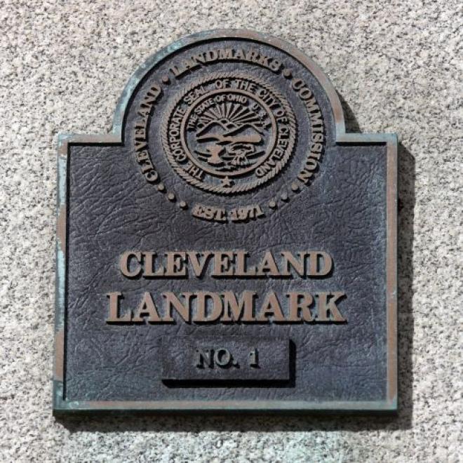
Buildings, properties, and districts that have been designated by Cleveland City Council as Landmarks or Historic Districts fall under the purview of the Cleveland Landmarks Commission for any exterior or site changes.

National Register of Historic Places - Cleveland Sites
Buildings, properties, and districts listed on the National Register of Historic Places are important resources for our City. Buildings, properties, and districts can be listed nationally and locally. The Landmarks Commission only has purview over properties locally designated, not ones that are solely listed on the National Register of Historic Places.